Home > Europe > United Kingdom > Wales > West Glamorgan > Swansea
Swansea SA2 7 Map

![]()
Wall Art and Photo Gifts from Map Marketing
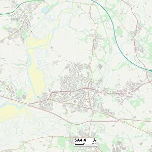
Swansea SA2 7 Map
Postcode Sector Map of Swansea SA2 7
Media ID 19981424
Ash Grove Broadacre Broadmead Brooklands Close Byron Way Coleridge Crescent Cowper Close Cygnet Close Edgemoor Close Eliot Close Fairwood Road Glenfield Close Gower Road Jasmine Close Keats Grove Lamb Lane Lime Grove Meadow View Oakdene Pen Y Bryn Priors Way Ridgeway Rowan Close Springfield Avenue St Nicholas Court Stephenson Road Swansea Sycamore Close Tennyson Way The Dell The Mead The Park Woodcote Woodside Avenue Woodside Close Y Berllan Hendre Plas Newydd Rhiwlas Swansea Airport
FEATURES IN THESE COLLECTIONS
> Europe
> France
> Canton
> Landes
> Europe
> United Kingdom
> Wales
> Pembrokeshire
> St Davids
> Europe
> United Kingdom
> Wales
> West Glamorgan
> Swansea
> Map Marketing
> Postcode Sector Maps
> SA - Swansea
> Maps and Charts
> Related Images
MADE IN THE USA
Safe Shipping with 30 Day Money Back Guarantee
FREE PERSONALISATION*
We are proud to offer a range of customisation features including Personalised Captions, Color Filters and Picture Zoom Tools
SECURE PAYMENTS
We happily accept a wide range of payment options so you can pay for the things you need in the way that is most convenient for you
* Options may vary by product and licensing agreement. Zoomed Pictures can be adjusted in the Cart.