Home > Asia > Japan > Maps
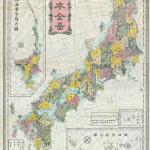
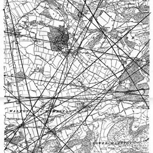
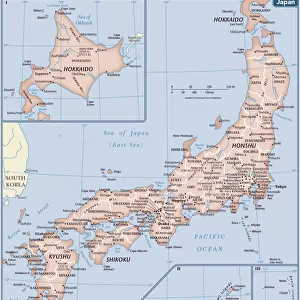
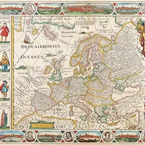
Map of Okinawa island by G. H. Davis

![]()
Wall Art and Photo Gifts from Mary Evans Picture Library
Map of Okinawa island by G. H. Davis
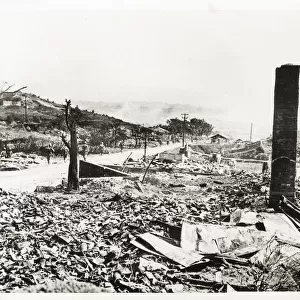
Okinawa island, the Key to Japan, whose capital, Naha, had just fallen towards the end of the Second World War. It was a vital base for the air war on Japan. Date: 1945
Mary Evans Picture Library makes available wonderful images created for people to enjoy over the centuries
Media ID 14133519
© Illustrated London News Ltd/Mary Evans
1945 Capital Davis Fallen Okinawa Pacific Vital Base Naha
FEATURES IN THESE COLLECTIONS
> Maps and Charts
> Early Maps
> Maps and Charts
> World
EDITORS COMMENTS
This historic map print, created by renowned cartographer G.H. Davis in 1945, depicts Okinawa Island, a vital strategic location in the Pacific Ocean during the closing stages of the Second World War. With its capital, Naha, having recently fallen into Japanese hands, Okinawa became a crucial base for the air war on Japan. The island's location in the Eastern Pacific made it an essential link between the Japanese home islands and their southern territories, making control of Okinawa a priority for both the Allied and Japanese forces. The map provides a detailed representation of the island's geography, including its numerous islands and reefs, as well as the surrounding waters teeming with shipping lanes and naval bases. The intricate detailing of the map underscores the importance of Okinawa as a military and logistical hub during the war. The fall of Naha marked a significant turning point in the Pacific War, as it opened up the way for the Allied forces to advance towards the Japanese mainland. The Battle of Okinawa, which began in April 1945, was one of the bloodiest battles in the Pacific Theater, with estimates of over 240,000 casualties between the Allied and Japanese forces. This map serves as a poignant reminder of the historical significance of Okinawa Island during the Second World War and the pivotal role it played in the eventual defeat of Japan. Its intricate detailing and historical context make it an invaluable addition to any collection of wartime maps or Pacific War memorabilia.
MADE IN THE USA
Safe Shipping with 30 Day Money Back Guarantee
FREE PERSONALISATION*
We are proud to offer a range of customisation features including Personalised Captions, Color Filters and Picture Zoom Tools
SECURE PAYMENTS
We happily accept a wide range of payment options so you can pay for the things you need in the way that is most convenient for you
* Options may vary by product and licensing agreement. Zoomed Pictures can be adjusted in the Cart.