Home > Europe > United Kingdom > England > Kent > Hever
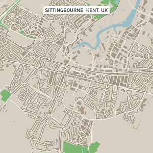
Northampton NN5 4 Map

![]()
Wall Art and Photo Gifts from Map Marketing
Northampton NN5 4 Map
Postcode Sector Map of Northampton NN5 4
Media ID 19975946
Acorn Close Acorn Road Baird Avenue Balmoral Close Betony Close Boswell Street Bowling Green Lane Brunel Drive Clover Street Edison Drive Faraday Close Hardy Close Hever Close High Street Kent Road Meadowsweet Road Mill Street Northampton Parkside Scott Close Telford Street Telford Way The Drive The Square Thompson Close Upton Upton Lane Walmer Close Webb Drive West Street
FEATURES IN THESE COLLECTIONS
> Europe
> United Kingdom
> England
> Kent
> Court-at-Street
> Europe
> United Kingdom
> England
> Kent
> Green Street Green
> Europe
> United Kingdom
> England
> Kent
> Halling
> Europe
> United Kingdom
> England
> Kent
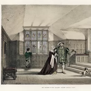
> Hever
> Europe
> United Kingdom
> England
> Kent
> High Street
> Europe
> United Kingdom
> England
> Kent
> Kent Street
> Europe
> United Kingdom
> England
> Kent
> North Street
> Europe
> United Kingdom
> England
> Kent
> South Street
> Europe
> United Kingdom
> England
> Kent
> Walmer
> Europe
> United Kingdom
> England
> Kent
> West Street
> Map Marketing
> Postcode Sector Maps
> NN - Northampton
MADE IN THE USA
Safe Shipping with 30 Day Money Back Guarantee
FREE PERSONALISATION*
We are proud to offer a range of customisation features including Personalised Captions, Color Filters and Picture Zoom Tools
SECURE PAYMENTS
We happily accept a wide range of payment options so you can pay for the things you need in the way that is most convenient for you
* Options may vary by product and licensing agreement. Zoomed Pictures can be adjusted in the Cart.