Home > North America > United States of America > California > San Francisco
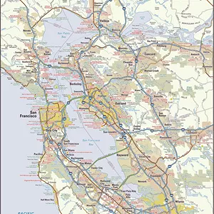
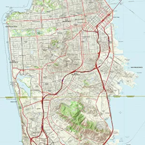
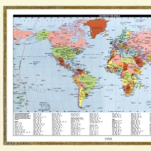
San Francisco City Map

![]()
Wall Art and Photo Gifts from Map Marketing
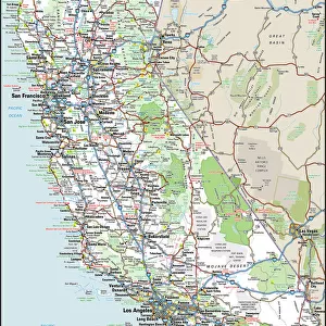
San Francisco City Map
A street level map of central San Francisco based on USGS topo map data. Covers from Alcatraz Island in the north to Oyster Point in the south and from Point Avisadero in the east to Ocean Beach in the west
Media ID 19950539
© Map Marketing Ltd, Map Data courtesy of USGS
FEATURES IN THESE COLLECTIONS
> Animals
> Mammals
> Cricetidae
> California Mouse
> Animals
> Mollusks
> Oysters
> Maps and Charts
> Popular Maps
> Maps and Charts
> Related Images
> North America
> United States of America
> California
> San Francisco
> Popular Themes
> North Island
MADE IN THE USA
Safe Shipping with 30 Day Money Back Guarantee
FREE PERSONALISATION*
We are proud to offer a range of customisation features including Personalised Captions, Color Filters and Picture Zoom Tools
SECURE PAYMENTS
We happily accept a wide range of payment options so you can pay for the things you need in the way that is most convenient for you
* Options may vary by product and licensing agreement. Zoomed Pictures can be adjusted in the Basket.