Home > Europe > United Kingdom > England > London > Sights > Osterley Park
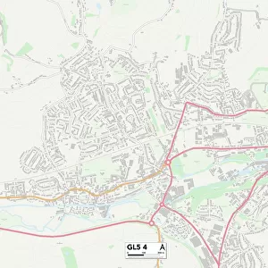
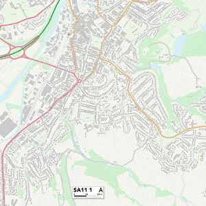
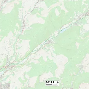
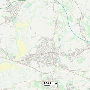
Neath Port Talbot SA11 2 Map

![]()
Wall Art and Photo Gifts from Map Marketing
Neath Port Talbot SA11 2 Map
Postcode Sector Map of Neath Port Talbot SA11 2
Media ID 19977738
Addison Road Alexander Road Bethel Street Brunel Way Brynhyfryd Brynteg Carlyle Street Chamberlain Road Church Street Collins Street Craig Road Elmwood Drive Fairlawns Farm Road Gower Street Greenwood Road Grove Lane Herbert Road Highfield Road Hill Street Manor Way Meadow Road Middleton Street Neath Port Talbot Neath Road Old Road Park View Close Primrose Road Railway Terrace Ruskin Street Sand Lane School Road Short Street St Marys Close Station Road Thomas Street Vernon Place Victoria Street Villiers Street Walters Road Warren Hill Westbourne Road Wheatley Road Wood Close Gardners Lane Giants Grave Wembley
FEATURES IN THESE COLLECTIONS
> Arts
> Artists
> C
> Craig Craig
> Arts
> Artists
> G
> Alexander Gardner
> Arts
> Artists
> H
> Thomas Hill
> Arts
> Artists
> J
> George Jones
> Arts
> Artists
> J
> Thomas Jones
> Arts
> Artists
> S
> George Sand
> Europe
> United Kingdom
> England
> London
> Sights
> Osterley Park
> Europe
> United Kingdom
> England
> London
> Sights
> Regents Park
> Europe
> United Kingdom
> England
> London
> Sights
> Victoria Park
> Europe
> United Kingdom
> Wales
> West Glamorgan
> Neath
> Map Marketing
> Postcode Sector Maps
> SA - Swansea
MADE IN THE USA
Safe Shipping with 30 Day Money Back Guarantee
FREE PERSONALISATION*
We are proud to offer a range of customisation features including Personalised Captions, Color Filters and Picture Zoom Tools
SECURE PAYMENTS
We happily accept a wide range of payment options so you can pay for the things you need in the way that is most convenient for you
* Options may vary by product and licensing agreement. Zoomed Pictures can be adjusted in the Cart.